


Incredible
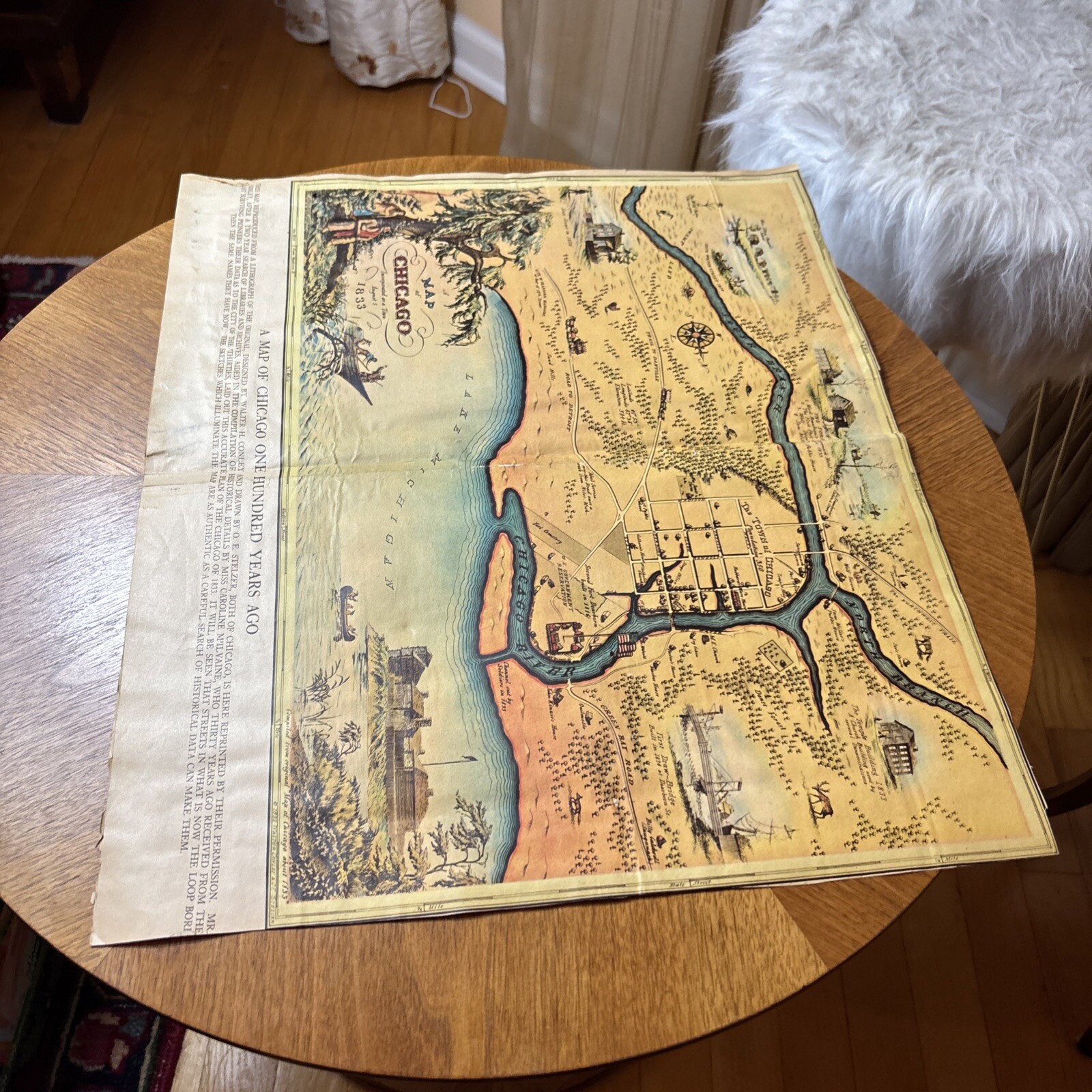
Old map insert from a 1933 Chicago Newspaper
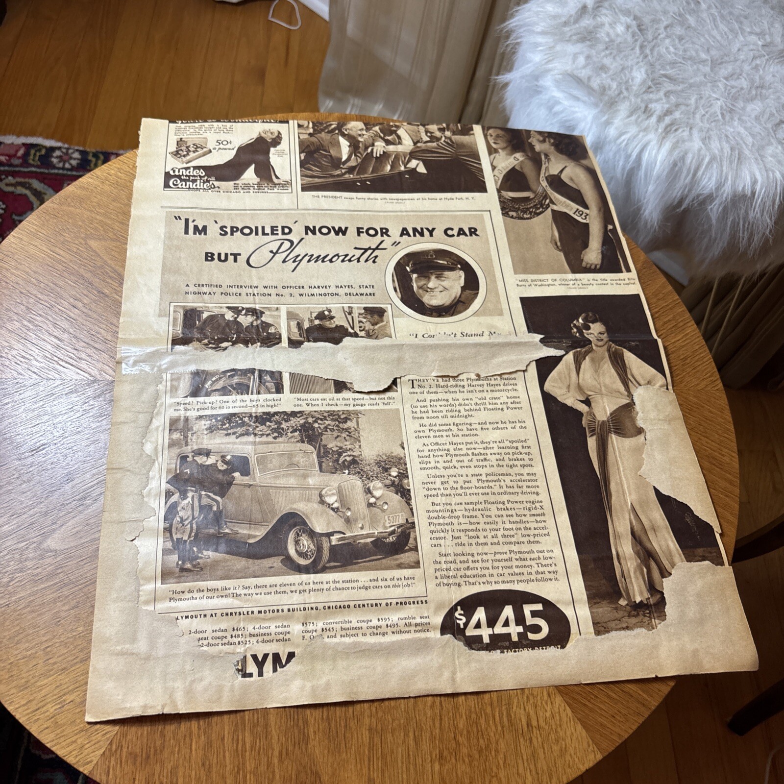
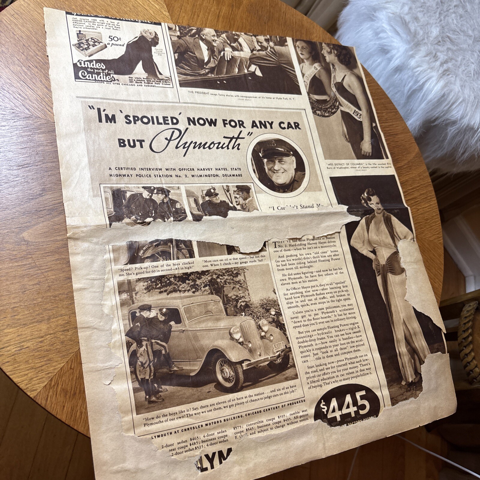
See photos some wear
Attic find
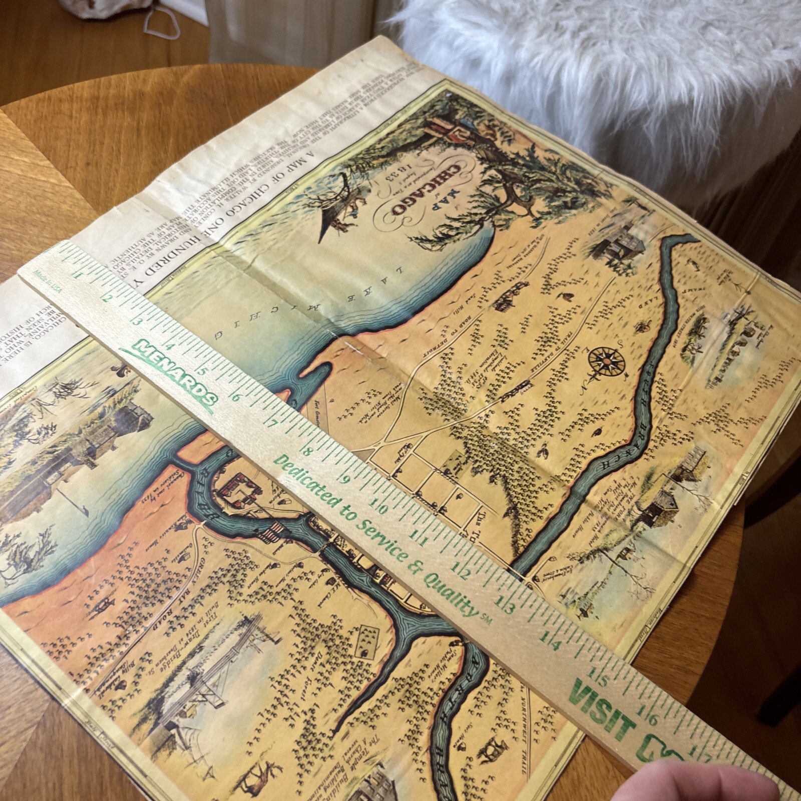
Sizing in photos
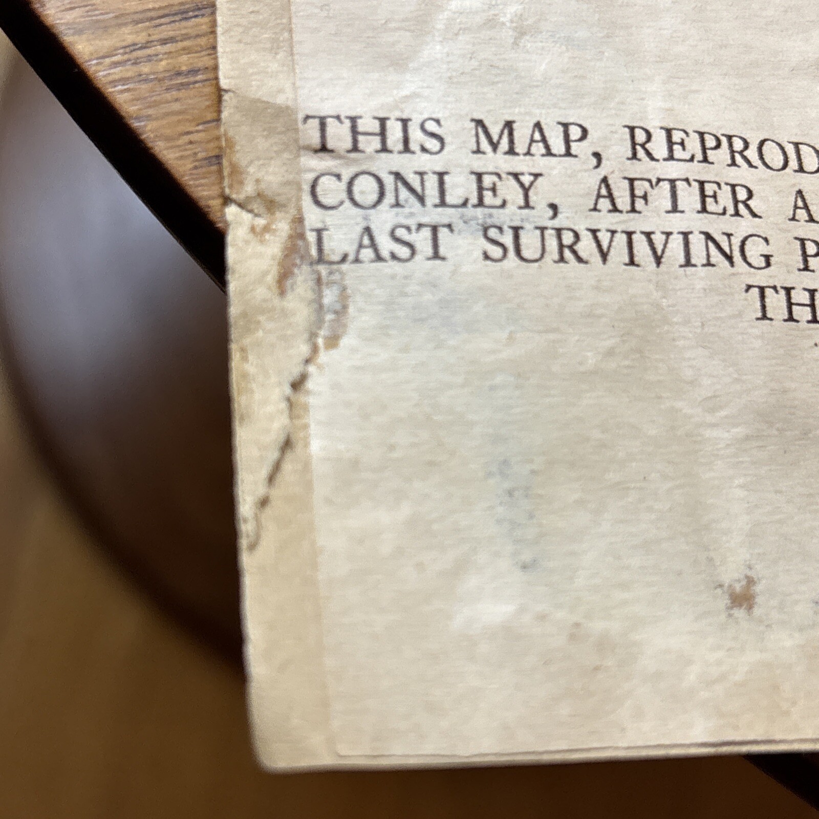
It was glued onto some paper
There remains of glued paper on a few parts
Some wear
Also some tape on back
This would look incredible framed
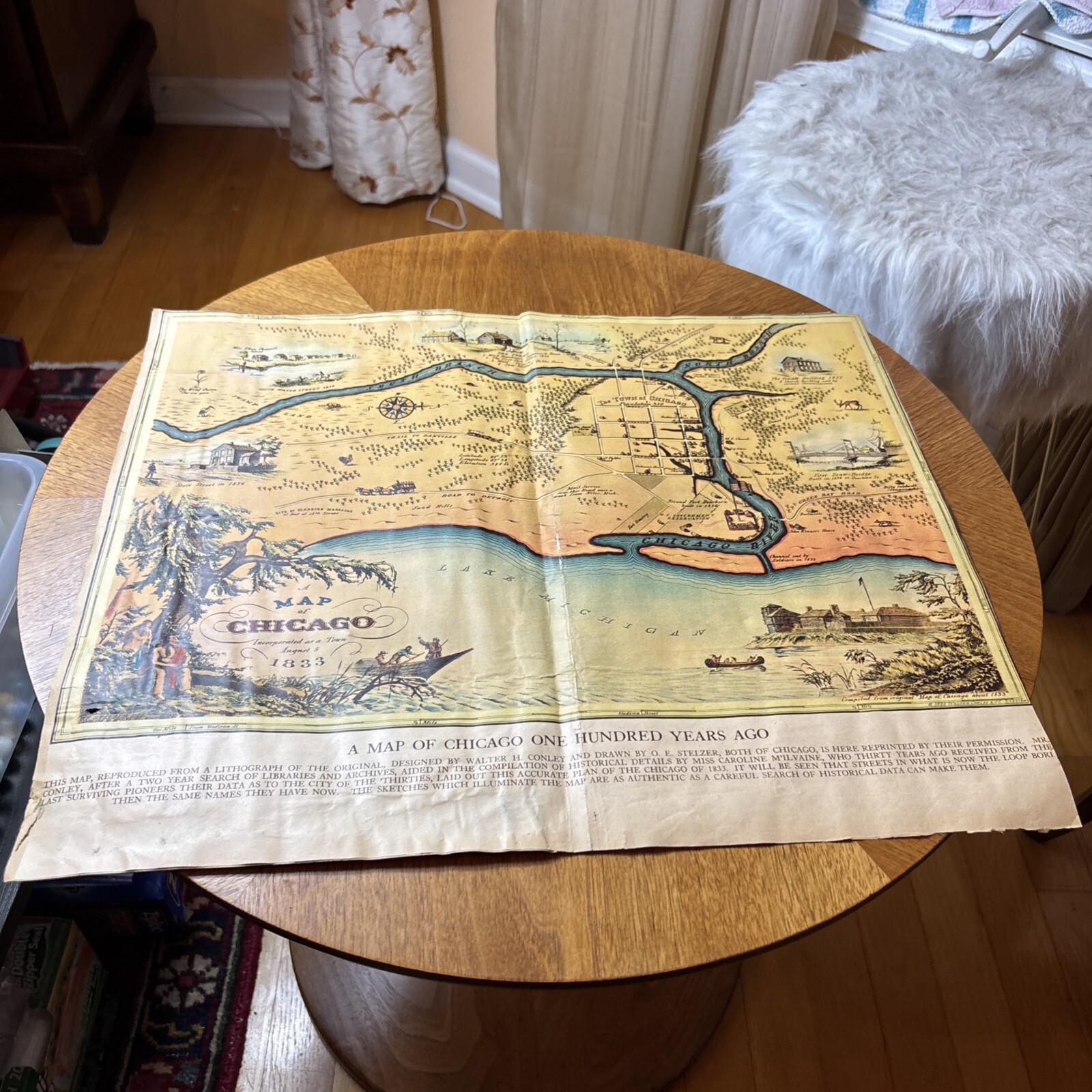
city of Chicago at its incorporation in 1833. Designed by Walter M. Conley (assisted by historical researcher Caroline McIlvaine) and drawn by O.C. Stelzer in 1932, it was printed in 1933 to coincide with the Chicago Worlds Fair and Chicago Centennial of that year.
This is the newspaper insert size
Some wear
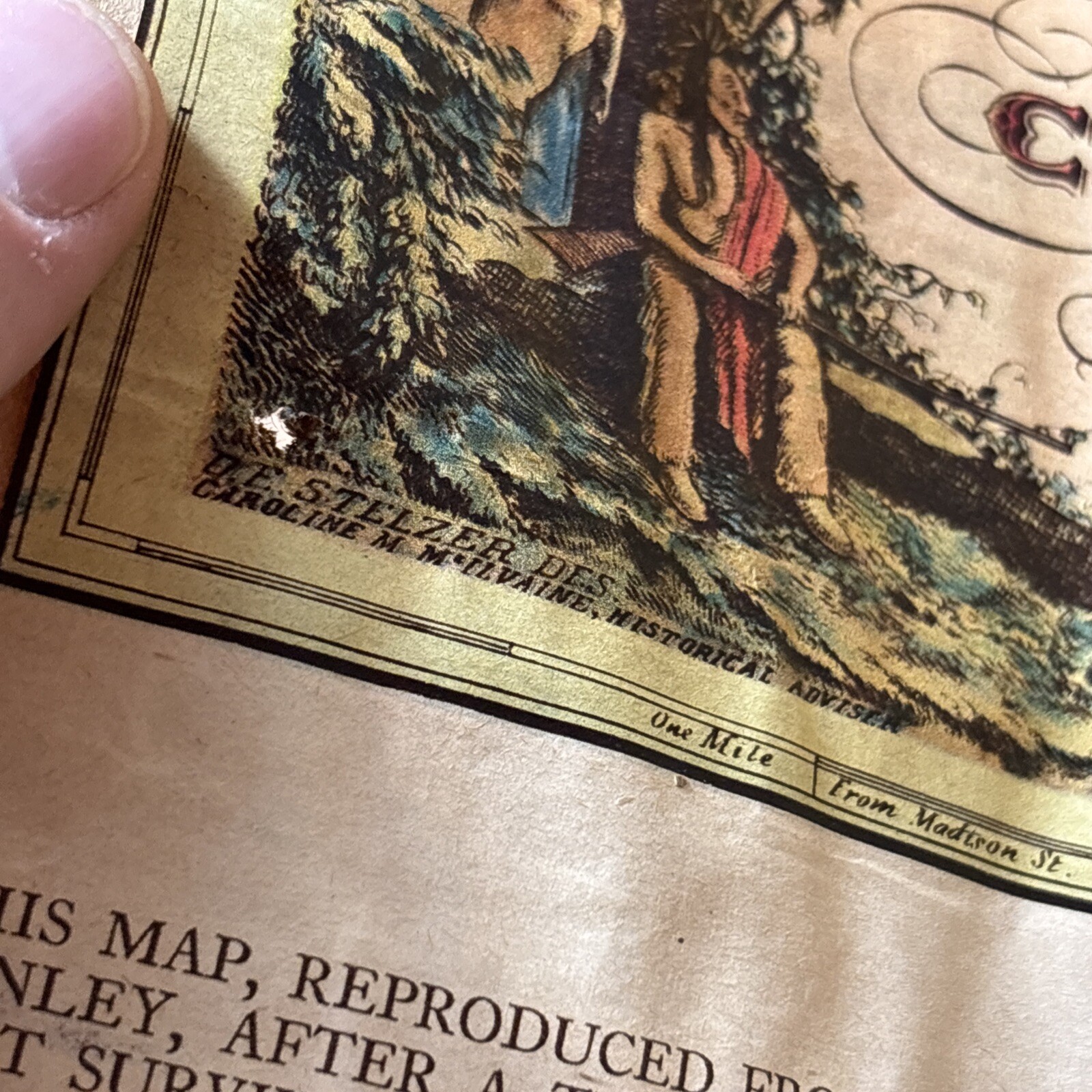
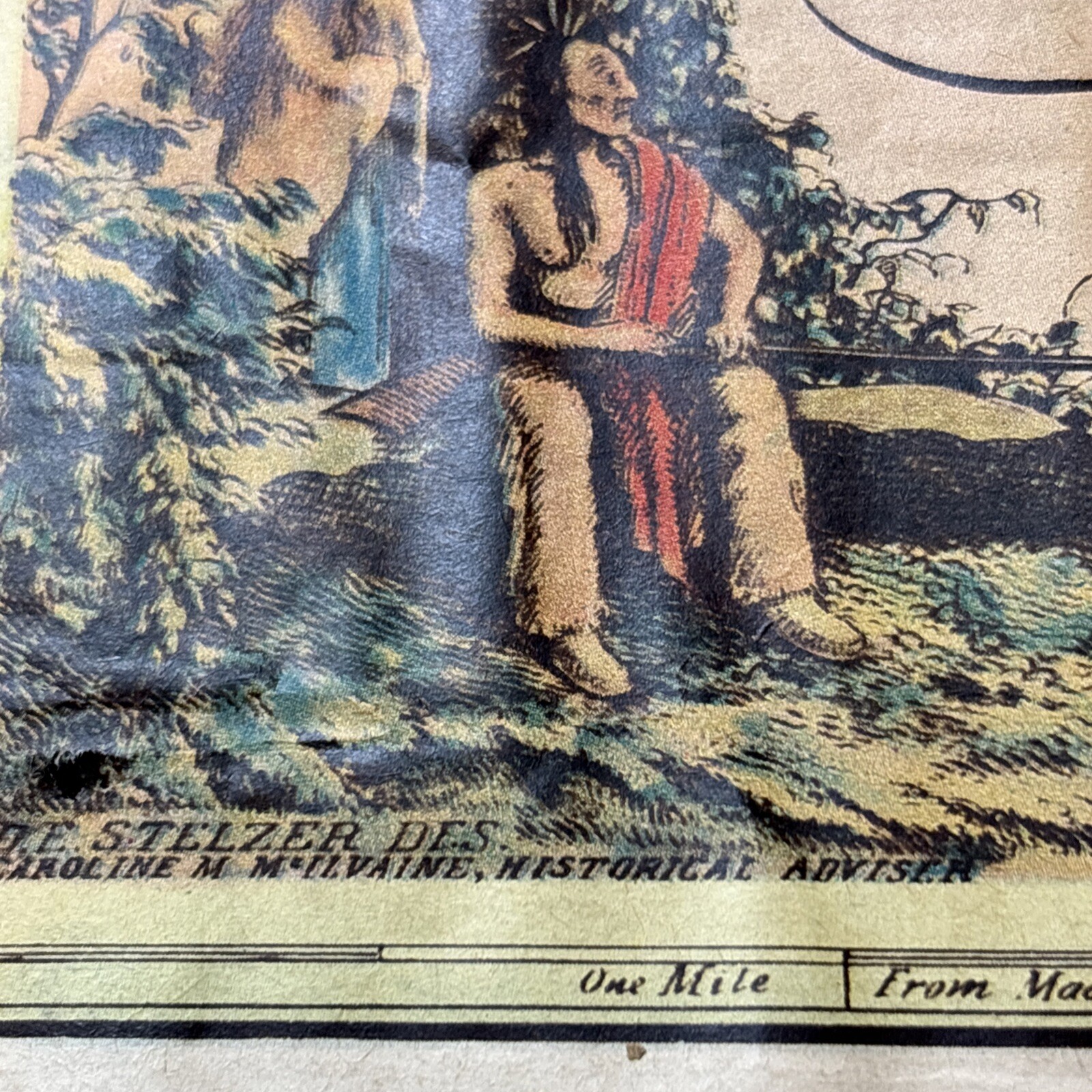
The map contains a wealth of information about the development and layout of Chicago in 1833 using a generally accurate placement and description of both geographic features such as rivers, forests, swamps and sand dunes in addition to cultural features such as wagon roads, city streets, trails and prominent structures. Many artistically drawn vignettes including Native Americans, trappers, canoes, stagecoaches, wildlife and several wonderful street scenes are placed throughout the map.
Old map on newspaper paper
Sold as is w wear
As pictured