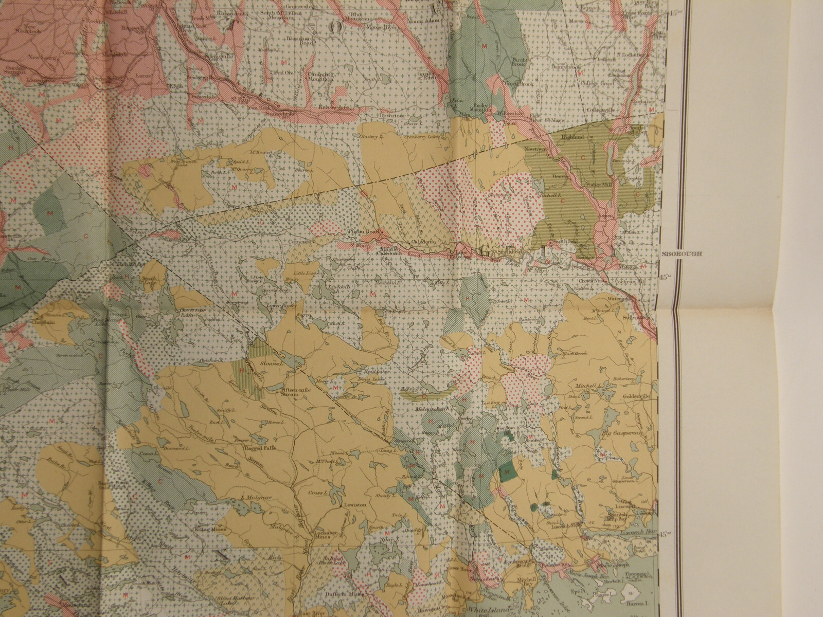
Please email with any questions.Antique folding map of Forest Distribution in Nova Scotia from the Commission of Conservation, 1912. 22" by 34", good condition, tiny pinholes on the intersections of the fold lines, deaccessioned from a geology library.
1912 FOLDING MAP FOREST DISTRIBUTION NOVA SCOTIA COMMISSION CONSERVATION CANADA


$22.99
Date Range
1910-1919
Type
FORESTRY MAP
US State
CANADA
Format
Folding Map
Printing Technique
Lithography
Canadian Province
Nova Scotia
Year
1912
Original/Reproduction
Antique Original
Country/Region
Canada